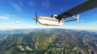
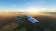
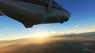
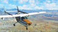
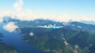
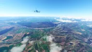
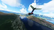
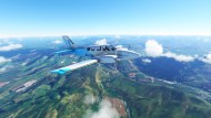
Microsoft Flight Simulator boasts the amazing feature of offering the entirety of our planet Earth on a virtual, 1:1 map for its players to explore. This is thanks to the petabytes of satellite imagery, in addition to various rendering techniques. In the two years since the sim has been out, many players have beamed over being able to fly over recognizably familiar areas such as their hometown or vacation destinations they’ve visited in real life. But, of course, with the whole world within reach, why just stop at the known? The stunning visual prowess of the simulator has led me to go on a series of globe-trotting adventures to various places—some of which I’ve never seen with my own eyes. Thus, I wanted to share some of the most visually-stunning locations I’ve visited so far in Microsoft Flight Simulator.
Before we begin our adventure, we have to go through our preflight safety briefing. Or in this case, general rules of thumb. While this piece is in list form, it’s not ranked in any particular order; each location is worth visiting for different reasons. That said, I’ll also recommend an aircraft to use, all of which I’ve flown. If it’s payware plane, a default alternative will be mentioned. Finally, I’ll also recommend some good airports in each location. With that protocol established, let’s begin our journey with these five recommendations.
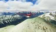
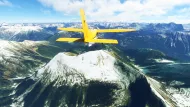
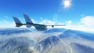
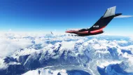
Rocky Mountains of Alberta, Canada (Banff)
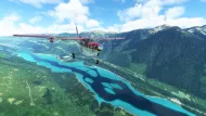
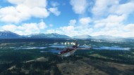
Canada is known for its stunning natural beauty. There’s so many miles (erm, kilometers) of untamed wild areas that it’s hard to pinpoint a specific spot with the prettiest views. But one well-known location is none other than Banff National Park located in the province of Alberta.
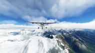
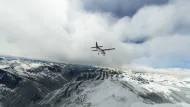
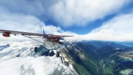
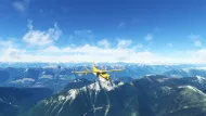
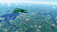
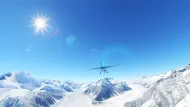
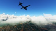
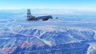
Banff is nestled in the part of the Rocky Mountains that flow into Canada. It’s renowned for its gorgeous rock formations, wintergreen forests, and crystal blue lakes. Of course, most people experience the scenes from ground level. Well, in Microsoft Flight Simulator, you can see it from a birds-eye view instead.
Starting from Calgary International Airport, which is located just outside of the mountains, head northwest into Canadian Rockies, and enjoy all that they have to offer. Banff itself is very easy to cover in airplane, so it’s best to venture around a bit of the Canadian Rockies to get more out of the journey.
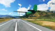
Personally, I flew in a circuit and hopped in and out of various airports within various regions of the mountain range. My favorite airport was the picturesque Invermere Airport (ICAO: CAA8), which is nestled in a valley in between the range. Creator ’55tom55′ has made a beautiful rendition of this little airport.
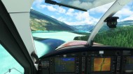
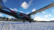
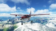
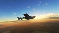
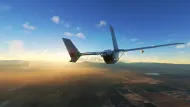
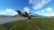
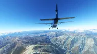
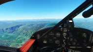
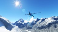
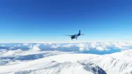
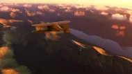
As far as equipment used, I started off with the default Cessna C208B Grand Caravan. While on this journey I was inspired to pick up the renowned Kodiak 100 by SimWorks Studios due to its equally rugged nature. No doubt, either plane is great for getting in an out of the many remote strips around Banff and the rest of the Canadian Rockies. This is due not only to their rugged design (with the Kodiak 100 having a tundra tire option for even better unpaved runway support), but also thanks to their turboprop engines.
More powerful than pistons, turboprops allow for more torque, resulting in additional lift power which is essential to out-climbing the rising elevation that mountain flying brings. Just as Banff is good for hiking, it’s really great for some nice, above earth bush flying.
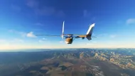
Orange County and the Sierra Nevada mountain range in California
After taking a real-life trip to southern California back in December 2021, I was inspired to visit the same locales in Microsoft Flight Simulator. Both virtually and realistically, its scenery is simply awe-inspiring. While Orange County and much of southern California are quite populated, they feature some epic spots that are surrounded by nothing but nature that looks great both on the ground and from above.
You can start from the famous Los Angeles International (KLAX) and then head south, or you can start from San Diego International (KSAN) and head north to either LAX or the town of Bakersfield. Bakersfield Municipal Airport (KL45) is great for small general aviation aircraft, but there’s also Meadows Field (KBFL), which can handle larger planes and is just a few miles away. Either way, just enjoy the epic, arid views that the Sierra Nevada mountain range has to offer.
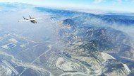
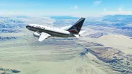
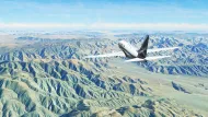
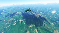
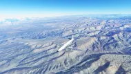
This mountain range is a direct contrast to the forested slopes of the aforementioned Rockies. Here, it’s all hues of orange, reds and yellows, made up of dry rock and sandy desert dust. Another great nearby spot to check out is the city of Palm Springs, which has its own international airport (KPSP). Nestled on north side of the mountain range, this gorgeous city offers some great views thanks to its technical approach when flying in from the south and the massive wind farm that also poses an interesting challenge for pilots.
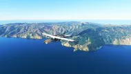
Finally, while technically outside of the scope of this region, you can venture a few miles off the SoCal coast to Catalina Island, which was recently outfitted with a free handcrafted upgrade for its airport (KAVX). While the island is small, the airport is worth visiting due to it being located on top of a small cliff with a short runway, which makes for slightly technical landing challenge.
New Zealand — All of it
Earlier this year, Asobo rolled out World Update 7 for Microsoft Flight Simulator, which brought a full upgrade to Australia. It inspired me to hop on over and check out the isolated continent. While I was in the neighborhood, so to speak, I decided to visit its eastward ally, New Zealand.
In fact, before deciding to check out New Zealand in the sim, I happened to see a beautiful clip of a real take-off from one of its airports, Milford Sound (NZMF). The virtual rendition of the same airport also proved to be quite an impressive looker. The rest of the country did not disappoint.
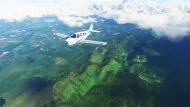
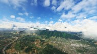
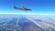
New Zealand as a whole is a land of gorgeous valleys, fjords, rivers, mountains, and more. Even without the full ‘touch-up’ that comes with a World Update, it’s a stunning place to fly over.
Seeing that New Zealand conveniently does geographically run from north to south (without much width), it’s easy to start from either end and explore the opposite direction. Queenstown Intl (NZQN) is in the south, and Auckland Intl (NZAA) is in the north. So you can fly in with a commercial airliner, and then use any general aviation aircraft of your choosing to explore the rest of the country.
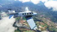
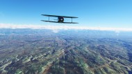
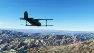
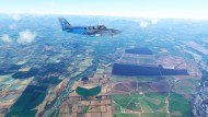
I mostly used planes like the Cessna Grand Caravan to explore the more rugged mountain areas, and then swapped it for the Beechcraft Staggerwing to take a gander at the countryside. Just as it holds a reputation for being a traveler’s dream destination in real life, New Zealand absolutely holds its own for the beauty factor in the virtual world.
Atacama Desert of Peru and Chile
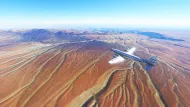
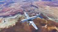
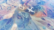
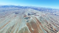
Stretching a massive 600-700 miles from the southern region of Peru throughout a huge swath of Chile is the Atacama Desert, one of Earth’s driest areas. Much like how the aforementioned Sierra Nevada Mountain Range looms over the Colorado and Mojave Deserts, the even larger Andes Mountains tower above the Atacama. This creates a beautiful contrast, with the west being incredibly dry and filled with beautiful reddish-orange hues of the powdery sand, while the east is lush and green. But, truth be told, I found the Atacama portion to be the most visually striking.
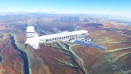
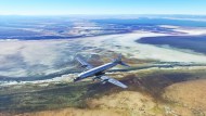
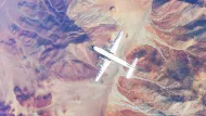
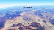
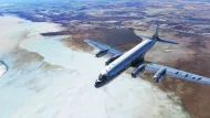
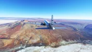
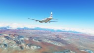
The satellite imagery of the desert is simply amazing. The waves of the sand are on full display, and its striking rock formations are featured in rich detail. I happened to explore this area twice, first in a mere Cirrus and then in the PMDG DC-6 while on a Pan American tour from San Diego all the way to Ushuaia, Argentina — a famous airport at the very tip of the South American continent.
On this journey, flying over the Atacama Desert was easily one of the highlights. While there aren’t that many airports along the way, there’s a good amount that will allow you to explore the area with relative ease.
You can start in Peru’s capital, Lima (SPJC – which has a free airport upgrade by “Jorgehin”), and then make your way southbound in the direction of Santiago, Chile, and watch the scenery gradually transform.
The route I took first had me go from SPJC to SPLC. From there, I took off again and ventured westward to look at Lake Titicaca before meandering south to fly into SCFA in Chile. All three of these airports offer some pretty visually stunning approaches, combined with the amazing scenery that surrounds them.
The Islands of The Bahamas
Considering that The Bahamas is my home country, one might argue that there’s some clear bias in including it. But honestly, I’m just gonna call it like I see it.
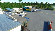
Not every location in Microsoft Flight Simulator is a perfect recreation. Unless scenery is handcrafted, there are usually some oddities and omissions that only someone familiar with the area would recognize. The sane is true for how The Bahamas is portrayed in Microsoft Flight Simulator.
As of the time of publication, nowhere in the Caribbean (minus some spots in Puerto Rico and the U.S. Virgin Islands) have been given any special treatment by Asobo via a World Update. So, the sim’s take of The Bahamas in its default state is only mostly good. I say “mostly” because none of the airports are a good match for their real-life counterparts. That said, what does stand out are the watermasks.
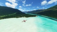
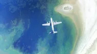
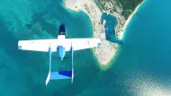
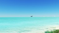
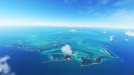
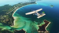
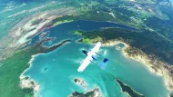
Watermasks are a special set of satellite imagery that have been applied to highly detailed parts of the ocean. NASA astronauts have marveled at the waters of The Bahamas from space, and looking at any satellite photos will prove why. That’s what makes it such a great place to visit in real life and in Microsoft Flight Simulator.
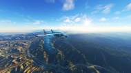
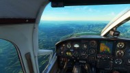
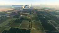
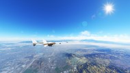
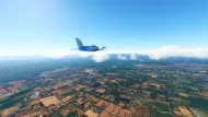
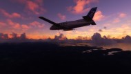
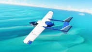
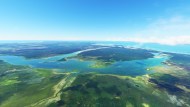
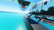
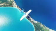
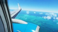
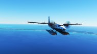
There’s a growing number of properly applied watermasks around the sim’s globe, and not even everywhere in The Bahamas has been touched up as of yet. Even so, the areas that have been worked on look particularly amazing, as shown in the above gallery.
To get a great look at the richly-detailed azure watermasks, you’d want to venture to the Berry Islands in the central part of the country, New Providence, which is just a little bit south, the nearby Andros Island (west of New Providence) and Eleuthera (east of New Providence).
In the real world, these islands are flown to extensively by private pilots. Almost every island features an airfield of some sort. There are small cays, which have equally micro-sized airports, and two major airports: Nassau International and Grand Bahama International. You can fly an airliner into either one. From there, whip out your favorite GA aircraft, and go on an island hopping adventure. Of course, amphibious planes will also do well here.
I highly recommend downloading the Bahamas scenery pack by “Art_P”. While it’s a port from FSX, the texture and model work hold up remarkably well here in Microsoft Flight Simulator. This pack gives a much-needed facelift to a healthy amount of airports around the country, so you can go all the way from Grand Bahama in the north to Inagua in the south and enjoy the views along the way.
I’d also recommend pushing a few miles further south into the Turks and Caicos island chain. While it’s not a part of The Bahamas, it’s geographically part of the same archipelago. The watermasks there are also gorgeous.
The sky is calling
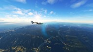
With the whole world accessible in Microsoft Flight Simulator, the sim is practically begging to be explored. As Asobo continues to make upgrades to the virtual globe through World and City Updates, each area will gradually become prettier and more detailed with time. But even the areas without an Update still look gorgeous.
As I continue globetrotting, I’ll keep scouting areas that I think are worth a virtual vacation.










Published: Sep 7, 2022 04:30 pm